
A survey run with the Dharug Custodian Aboriginal Corporation located shelters that ground teams had missed, and showed that the official register’s coordinates were often badly wrong.
The Blue Mountains west of Sydney are difficult country to walk. Sandstone escarpments, deep gorges and dense bush make a few kilometres a day’s work, and the rock shelters beneath the overhangs, many of them holding Aboriginal art and stone artefacts, are visible only from close by.
That is why only about 10 per cent of the region has been archaeologically surveyed, by Dr Amy Mosig Way’s estimate, despite more than 200 rock shelters having been recorded there already.
A team from the University of Sydney, the Australian Museum and the Dharug Custodian Aboriginal Corporation has now tested a different approach. Reporting in Remote Sensing, they flew a drone carrying a laser scanner over a section of the mountains and identified three rock shelters that were not on any register. Fieldwork confirmed all three, and each held art, artefacts or both.
Seeing through the canopy
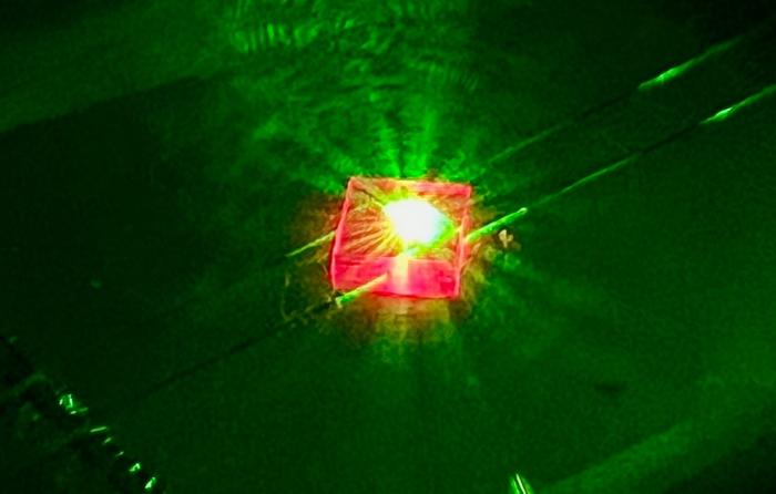
The instrument was LiDAR, a scanner that fires laser pulses and times their return to build a three-dimensional model of a surface. Mounted on a drone, a DJI M350 carrying a YellowScan Explorer V2 sensor, it has one property that makes it suited to this landscape: some pulses slip through gaps in the foliage and reflect off the ground beneath.
That allows the vegetation to be stripped from the data computationally, leaving a bare-earth model of the terrain. Overhangs, cliff lines and the recesses beneath them show up as shapes in the topography rather than as objects that have to be spotted by eye.
“This work is exciting because it offers an efficient and accurate way to locate sites in rugged environments, which are notoriously arduous, expensive and time-consuming to survey,” said Dr Jacob Bongers, the lead author and a digital archaeologist at the University of Sydney.
The survey also confirmed six shelters already on the register, which matters as a check: a method that finds new sites but misses known ones would be of limited use.
The register’s coordinates were off
The second finding is less eye-catching and arguably more useful. The drone-derived coordinates for the shelters were considerably more accurate than those held in AHIMS, the Aboriginal Heritage Information Management System, the New South Wales register of Aboriginal sites.
This is a practical problem with real consequences. AHIMS is what developers, planners and land managers consult to find out whether a proposal would affect a registered site. If a shelter’s recorded position is tens or hundreds of metres from where it actually is, the protection the register is meant to provide can fail in either direction, leaving a site exposed or placing a constraint on ground where nothing is there.
Many register entries were made decades ago, before satellite positioning was accurate or widely available, with locations sketched from maps and descriptions. The errors are not anyone’s negligence; they are the residue of the technology of the time, and they have never been systematically corrected.
Red hands on the sandstone
Among the art recorded at the newly identified shelters were hand stencils in red pigment, made by placing a hand against the rock and spraying pigment around it, so the image left behind is the space the hand occupied.
Hand stencils are among the most widespread forms of rock art in Australia and among the most direct. The person who made one was physically present at that spot, pressed against that stone.
Erin Wilkins, a Dharug Custodian Aboriginal Corporation representative, led the recording of the rock art, and the project was co-directed by Way, of the University of Sydney and the Australian Museum, and Wayne Brennan, an Indigenous rock art expert at the University of Sydney.
Science and culture together
The work is part of the Gulamada Project, and its governance is as much the point as its technology.
“From the outset, our vision for the Gulamada Project has been to create a true nexus of science and culture,” Brennan said. “This work highlights the importance of listening, learning and working together.”
Archaeology in Australia has a long and uncomfortable history of being done to Aboriginal communities rather than with them, and projects directed jointly with a custodian corporation represent a deliberate change in how such research is organised. Who decides what is recorded, and who holds the resulting information, are not incidental questions when the subject is a community’s own heritage.
The project also carried a teaching function. “One of the most rewarding aspects of the Gulamada Project has been creating opportunities for students to gain hands-on experience in cultural heritage research in a community-centred project,” Way said.
Funding and what comes next
Gulamada received AU$248,610 from Round 1 of the Australian Government’s First Nations Heritage Grants programme, managed by the Department of Climate Change, Energy, the Environment and Water. The programme funds on-Country projects led by First Nations people to identify, record and protect heritage within existing World and National Heritage-listed places.
“This project demonstrates the power of bringing together First Nations knowledge and new technology to better understand and protect Australia’s rich cultural heritage,” said Susan Templeman, the Federal Member for Macquarie, adding that she was proud the programme was supporting work “like Gulamada here in the Blue Mountains, already renowned for the extraordinary natural and cultural significance within our rugged landscapes.”
The methodology, Bongers said, “is helping expand the record of Aboriginal cultural sites in the Blue Mountains and has the potential to be applied in other regions.”
Three shelters is a small number, and the survey covered one area rather than the range. But the arithmetic is what makes it interesting. If 90 per cent of a region holding more than 200 recorded shelters has not been surveyed, and a drone can cover ground that a walking team cannot, the gap between what is known and what is there may be closable in a way it has not been before.
Notes
- Bongers, J., et al. “Drone-Based LiDAR Survey for Rock Shelter Detection in the Blue Mountains, Australia.” Remote Sensing, 2026. DOI: 10.3390/rs18203495.
- University of Sydney. “Drones help archaeologists find Aboriginal rock art sites hidden in Australia’s rugged Blue Mountains.” EurekAlert!, 19 October 2026. https://www.eurekalert.org/news-releases/1148234.
Photo by Peter J. Brown


Leave a Reply