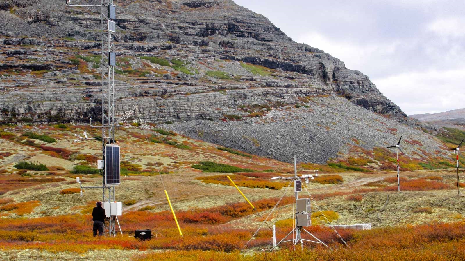
A Landsat analysis of 2,221 human footprint areas across the Arctic found that mining, industry and other development are browning vegetation even as warming makes surrounding tundra greener.
For decades, satellites have recorded a striking trend across the far north. As the Arctic warms faster than the rest of the planet, much of its tundra has been growing greener, with shrubs and other plants spreading and growing more vigorously in longer, warmer summers.
But that picture is not uniform. A new study published in the Journal of Remote Sensing shows that where people have built mines, industrial sites and other infrastructure, the trend often runs in the opposite direction. Human disturbance, the researchers found, is browning vegetation and dampening the greening driven by climate.
“Arctic vegetation change cannot be characterized by a uniform ‘greening’ phenomenon,” the authors write.
The study was led by Sun Yat-sen University in China, with collaborators from Duke University, the University of North Carolina at Chapel Hill and the Aerospace Information Research Institute of the Chinese Academy of Sciences.
Mapping the human footprint
The researchers analyzed 2,221 clusters of human footprint areas, covering 21,402 square kilometres across the Arctic. These are places where people have altered the land through activities such as mining, industry and construction.
To measure vegetation, they used the Normalized Difference Vegetation Index, or NDVI, a widely used satellite metric that compares how strongly the land reflects red and near-infrared light. Healthy green vegetation absorbs red light for photosynthesis and reflects near-infrared light strongly, so higher NDVI values indicate denser, more vigorous plant cover.
The team drew on imagery from the Landsat 5, 7 and 8 satellites between 2000 and 2020, with a resolution of 30 metres. That fine scale allowed them to compare disturbed pixels with nearby stable reference pixels, located within 6 kilometres and differing in elevation by no more than 500 metres, so that differences in climate and terrain would be minimal.
The Landsat program, jointly run by NASA and the US Geological Survey, has been imaging Earth’s surface since 1972, making it the longest continuous record of the planet’s land from space. Its archive allows scientists to trace changes in individual fields, forests and mine sites over decades.
Browning where people work
The contrast was stark. Disturbed areas browned at a rate of −109.7 × 10⁻⁴ NDVI units per year, while nearby stable areas greened at 37.8 × 10⁻⁴ units per year. Browning occurred in 58.7% of disturbed clusters, while greening occurred in 67.7% of stable ones.
Disturbance accounted for 16.1% of the variability in greenness within human footprint areas. For each 1% increase in disturbance, the NDVI trend metric declined by 2.3 units.
The effects were strongest in industrial and mining regions, and they grew stronger toward lower latitudes. Disturbed and stable areas diverged over the two decades studied, with the gap becoming clear after about 2011.
Two forces, pulling in opposite directions
The researchers separated the contributions of climate and disturbance to vegetation change. Climate contributed positively in 76.3% of vegetated pixels, reflecting the overall greening effect of warming. Disturbance contributed negatively in 68.9%.
The most common pattern, covering 50.3% of the area of human footprint zones, combined both effects: climate-driven greening paired with disturbance-driven browning. In other words, in about half the landscape people have altered, warming is pushing vegetation one way while human activity pushes it the other.
That combination matters for interpreting regional trends. If greening and browning occur side by side, an average over a large area can hide what is happening at the local scale. A satellite pixel several hundred metres across might register little change, even though part of it is greening rapidly and part of it is browning.
Case studies from mine to city
The team examined three locations in detail. Mirny, in Siberia, is home to one of the world’s largest open-pit diamond mines. Yellowknife, the capital of Canada’s Northwest Territories, has a long history of gold mining. The Fort Knox gold mine lies near Fairbanks, Alaska. In all three, the differences between disturbed and stable zones were highly significant.
The researchers also checked their results against data from MODIS, a satellite instrument with coarser resolution but a long, consistent record. The Landsat trends closely matched the MODIS results while revealing finer local patterns that coarser imagery would blur.
Why it matters
Arctic greening has implications well beyond the region. Plants take up carbon dioxide as they grow, so more vigorous vegetation can partially offset carbon released from thawing permafrost. Changes in plant cover also affect how much sunlight the surface reflects, the flow of water and nutrients and the habitats available to animals such as caribou.
Industrial disturbance in the Arctic can remove vegetation outright, compact or contaminate soils, deposit dust and alter drainage. Damage in cold, slow-growing tundra ecosystems can take decades to recover. As interest grows in Arctic mineral resources, shipping routes and energy development, the footprint of human activity is likely to expand.
The findings suggest that models and assessments of Arctic vegetation change need to account for local human influence, not just climate. A region-wide average of greening could mask substantial browning in the places where people are most active, and those are often the places where impacts on local communities and ecosystems are greatest.
The study also demonstrates the value of fine-resolution satellite data for separating local disturbances from broader climate trends, a method that could help land managers track the impacts of development and evaluate efforts to restore damaged sites.
The research was supported by the National Natural Science Foundation of China and the Ministry of Education of China.
Notes
- “Anthropogenic Disturbance Dampens Climate-Driven Greening in the Arctic.” Journal of Remote Sensing, 2026. DOI: 10.34133/remotesensing.1062.
- Journal of Remote Sensing. “Human activity erodes climate-driven Arctic greening.” EurekAlert!, 22 October 2026. https://www.eurekalert.org/news-releases/1148886.

Leave a Reply