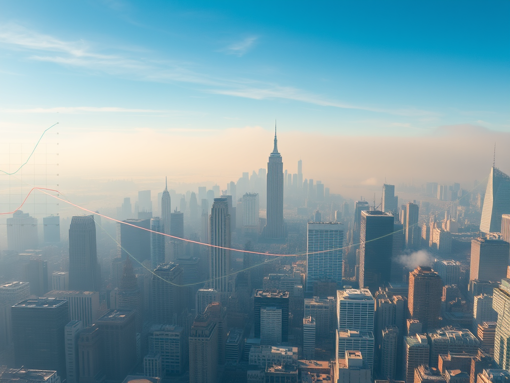
In a sweeping new study of more than 13,000 urban areas worldwide, researchers have mapped air pollution levels and carbon dioxide emissions, providing comprehensive global analysis of urban environmental quality.
The research led by George Washington University, in collaboration with scientists from Washington University in St. Louis and the University of North Carolina at Chapel Hill, used data from satellite observations, ground-based measurements and computer models to measure city-level air pollution and the average amount of carbon dioxide released into the atmosphere in 13,189 urban areas globally. The study, which highlights regional disparities, focused on the years spanning from 2005-2019.
“This study provides a powerful snapshot of how urban environments are evolving across the globe,” said Susan Anenberg, professor of environmental and occupational health at the GW Milken Institute School of Public Health and director of the GW Climate and Health Institute. “It also shows that progress is possible but uneven, with some cities seeing worsening pollution while others are experiencing cleaner air over time.”
Key Findings:
Satellite remote sensing provides an unprecedented opportunity to track pollution levels in all cities worldwide.
More than 50% of cities showed links between all pollutants, suggesting they likely come from the same sources and could be reduced together.
Urban areas in high-income regions with aggressive environmental policies saw simultaneous declines in all pollutants.
Cities in regions undergoing rapid population and economic growth, including South Asia and parts of Africa, experienced rising pollution and emissions levels.
Sign up for the Daily Dose Newsletter and get every morning’s best science news from around the web delivered straight to your inbox? It’s easy like Sunday morning.
The study’s integrated approach offers policymakers, researchers and climate advocates a valuable new tool for assessing the effectiveness of strategies to reduce pollution. By tracking historical pollutant trends and analyzing correlations across air pollution, nitrogen dioxide and carbon dioxide emissions, the study offers insights into how urban areas can make progress on both climate and public health goals.
Researchers also created an interactive map and dashboard to track air pollution in cities worldwide.


Leave a Reply