HAVE YOUR SAY.
Join us in The Bullpen, where the members of the Scientific Inquirer community get to shape the site’s editorial decision making. We’ll be discussing people and companies to profile on the site. On Wednesday, December 28 at 5:30pm EST, join us on Discord and let’s build the best Scientific Inquirer possible.
A new study demonstrates how anonymized GPS data from people’s smartphones can be used to monitor the public’s use of parks and other green spaces in urban areas, which could help inform their management. Alessandro Filazzola of ApexRMS and the University of Toronto, Mississauga, Canada, and colleagues present these findings in the open-access journal PLOS Computational Biology on December 15, 2022.
Parks and other green spaces in urban areas perform several key functions, including promotion of human physical and mental health, preservation of ecosystem biodiversity, and services such as stormwater management and heat reduction. People’s interactions with green spaces influence these functions, but it is challenging to capture human activity at a fine enough resolution to inform green space management. Anonymized GPS data from people’s smartphones could help address this challenge.
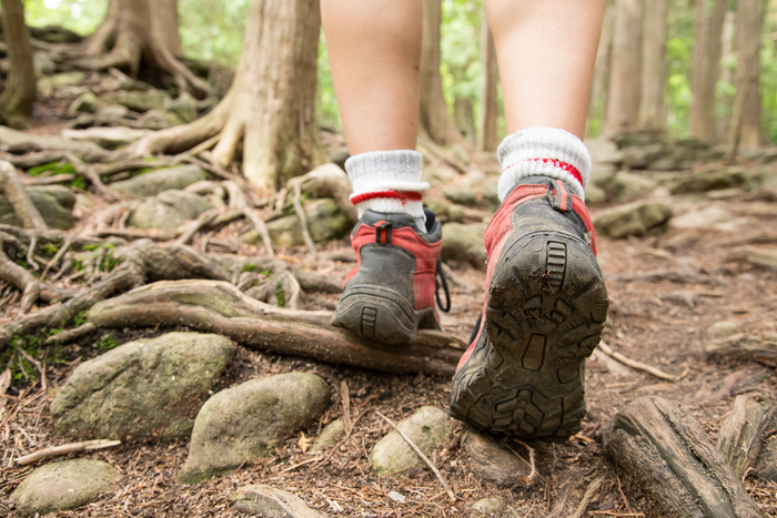
To demonstrate such an approach, Filazzola and colleagues analyzed anonymized smartphone data that captured people’s visits to 53 green spaces in the greater Toronto area in Canada, including parks, trail systems, and areas closed to the public for conservation purposes.

They found that the GPS data did indeed capture insights about people’s use of these green spaces, showing, for instance, that mobile device activity was strongly correlated with data on reservations made by people to access parks. The data also revealed which areas within green spaces had more or less human activity, with established trails being particularly popular. In addition, greater human presence was linked to certain types of land cover, such as rock formations, as well as certain tree species.
These findings highlight the potential for anonymized GPS smartphone data to help inform management of green spaces, especially as cities grow worldwide. Such efforts could optimize the benefits of green spaces for people while also preserving biodiversity.
The researchers note several challenges to this approach, such as some people’s tendency to disconnect from the mobile devices when visiting green spaces and the difficulty of distinguishing between a smart phone located within a green space versus passing in a car just outside the perimeter. Future research could address these issues and refine the methodology.
The authors add: “Access to parks is important for city residents for recreation, connecting to nature, and socialization, but it’s challenging to understand how people use these green spaces. Our study is using anonymized mobility data to help shed light on relationship between people and nature in parks.”
IMAGE CREDIT: Conservation Halton, CC-BY 4.0, https://creativecommons.org/licenses/by/4.0/)


Leave a Reply