Tropical Storm Isaias has people guessing. Will it or won’t it strengthen back into hurricane form or will it continue to spin at tropical storm speeds? At this point, after battering the Carribean and psyching out Florida, it appears as if Isaias’ path will go through the Carolinas and up the east coast of America.
According to the Washington Post, “The storm is predicted to crash ashore in the Carolinas Monday night at hurricane intensity between Charleston, S.C., and Wilmington, N.C., causing widespread power outages, coastal inundation of three to five feet in some areas, and heavy rains that could reach eight inches or more in some locations.”
By Tuesday, the speedy cyclone should be whipping rain down along the Acela corridor.
Tropical storms and hurricanes typically form over large bodies of warm water. The evaporation of water from the surface of the ocean is like gasoline to the system, providing power or sapping it away. The evaporation ultimately recondenses into clouds and rain when moist air rises and cools to saturation. This energy source differs from that of mid-latitude cyclonic storms, such as nor’easters and European windstorms, which are fueled primarily by horizontal temperature contrasts.
Interestingly, not all hurricanes are created equal and the direction of its spin depends on where it is located. The signature spiral blows counterclockwise in the Northern Hemisphere and clockwise in the Southern Hemisphere.
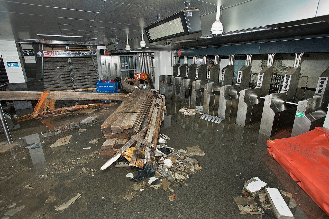
At this point, even though Tropical Storm Isaias isn’t even a Category 1 hurricane, New Yorkers are having nasty flashbacks to Superstorm Sandy. A repeat is unlikely but can’t blame them considering the spring and summer the Big Apple has just suffered through.
IMAGE SOURCE: Creative Commons
Sign up for Scientific Inquirer’s Steady State Newsletter for the week’s top stories, exclusive interviews, and weekly giveaways. Plenty of value added but without the tax. http://bit.ly/2VEF06u

Leave a Reply